2024-2025 USAP Field Season
Project Detail Project TitleEarthScope GAGE high-precision GPS and ground-based light detection and ranging (LiDAR) support Summary
Event Number:
Program Director:
ASC POC/Implementer: Principal Investigator(s)
Mr. Joseph R Pettit
Location
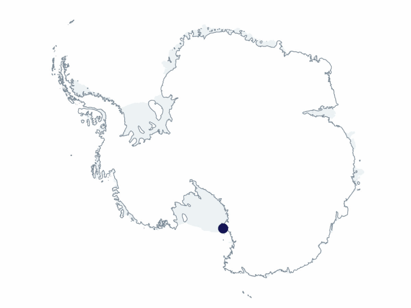
Supporting Stations: McMurdo Station DescriptionEarthScope GAGE (formerly UNAVCO) provides geodetic observations support and equipment. Survey-grade GPS, terrestrial laser scanners, Uncrewed Aerial Vehicles (UAVs), and power and communications systems for high-precision campaign surveying and continuous data collection are available. GAGE operates a network of Global Navigation Satellite System (GNSS) stations on Ross Island and in the McMurdo Dry Valleys. Support infrastructure includes a real-time kinematic differential GPS broadcasting station covering McMurdo Sound, a Mount Erebus repeater for GPS data retrieval from the Transantarctic Mountains, and an Iridium satellite hub in Colorado. Support is also provided for Palmer Station’s GPS survey system. Operation and maintenance are provided for NASA's GNSS service stations MCM4 and PALM, POLENET (ANET), West Antarctic Ice Sheet Divide, South Pole GPS stations, and as-yet-unplanned support, as feasible. Field Season OverviewEarthScope GAGE field engineers will work out of McMurdo Station for much of this field season, providing technical and field engineering support to various projects, managing the on-continent geodetic equipment pool, and servicing near field installed instruments as needed. One member of the T-295-M team will be attached to the G-079-E POLENET team this year. This group will be based at the Antarctic Logistics & Expeditions Union Glacier field camp. Deploying Team Members
|
2024-2025 Science Planning Summary


For USAP Participants |
For The Public |
For Researchers and EducatorsContact UsU.S. National Science FoundationOffice of Polar Programs Geosciences Directorate 2415 Eisenhower Avenue, Suite W7100 Alexandria, VA 22314 Sign up for the NSF Office of Polar Programs newsletter and events. Feedback Form |


