2023-2024 USAP Field Season
Project Detail Project TitleThwaites Interdisciplinary Margin Evolution (TIME): the role of shear margin dynamics in the future evolution of the Thwaites Drainage Basin Summary
Event Number:
Program Director:
ASC POC/Implementer: Principal Investigator(s)
Dr. Slawek M Tulaczyk
Dr. Poul Christoffersen
Project Web Site: Location
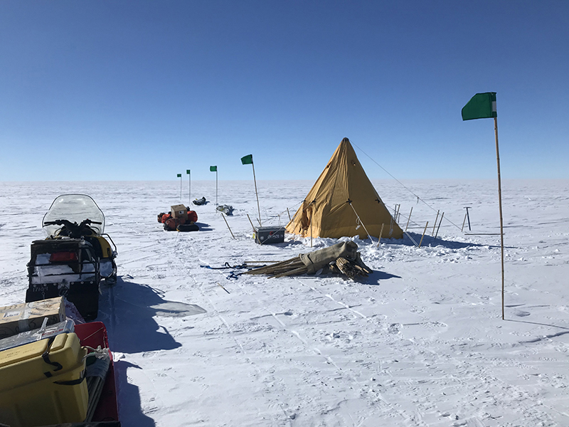
Supporting Stations: McMurdo Station DescriptionThe Thwaites Interdisciplinary Margin Evolution (TIME) project is a part of the International Thwaites Glacier Collaboration (ITGC), a multi-disciplinary effort led by the U.S. and U.K. Antarctic programs. The project will test the overarching hypothesis that shear-margin dynamics may exert powerful control over the evolution of ice flow in the Thwaites Drainage Basin. The work will combine geophysical data collection on the Eastern Shear Margin (ESM) of Thwaites Glacier with shear margin modeling and basin-scale numerical investigations of future sea-level contributions. Fieldwork includes data collection from passive seismic instrument arrays, active seismic experiments, and radar surveys. Field Season OverviewThis is the final field season for this project. The science team will carry out extensive active-source seismic experiments at site TIME 2 (T2). Seismic recording systems will include 1,000 passive seismic nodes, two 24-channel Geode seismic systems, and one distributed acoustic sensing (DAS) recording system. Sources will include drilled explosives in a 27 km-long line layout and surface explosives in a 3 x 5.5 km grid layout. Researchers will establish safe travel routes by GPR (ground penetrating radar), then will perform RTK (real-time kinematic) GPS survey and stake-out of drilling, blasting, and seismic node locations. They will drill shot holes with a hot water drill, then have a blaster load holes with explosives to generate the seismic source. Passive seismic nodes will be deployed in shallow surface holes to record blasting, then will be retrieved at the experiment's end. Deploying Team Members
|
2023-2024 Science Planning Summary

For USAP Participants |
For The Public |
For Researchers and EducatorsContact UsNational Science FoundationOffice of Polar Programs Geosciences Directorate 2415 Eisenhower Avenue, Suite W7100 Alexandria, VA 22314 Sign up for the NSF Office of Polar Programs newsletter and events. Feedback Form |

: Thwaites Glacier, Eastern Shear Margin")
